Reading The Ground Beneath Every Water Decision

Deepflow Water Science is an independent hydrogeology laboratory providing aquifer studies, well siting, and subsurface groundwater investigations for infrastructure, agriculture, and municipal projects.

Schedule A Consultation View Our Solutions
180+
Site Investigations
42
Active Monitoring Wells
15
Years In The Field
Subsurface data, made legible.
About Deepflow

Groundwater Science You Can Build On

We combine field hydrogeology with aquifer modeling to give engineers, municipalities, and landowners a clear picture of what's happening beneath the surface.

From well siting to long-term monitoring, every recommendation is grounded in measured data, not assumption.

More About Us
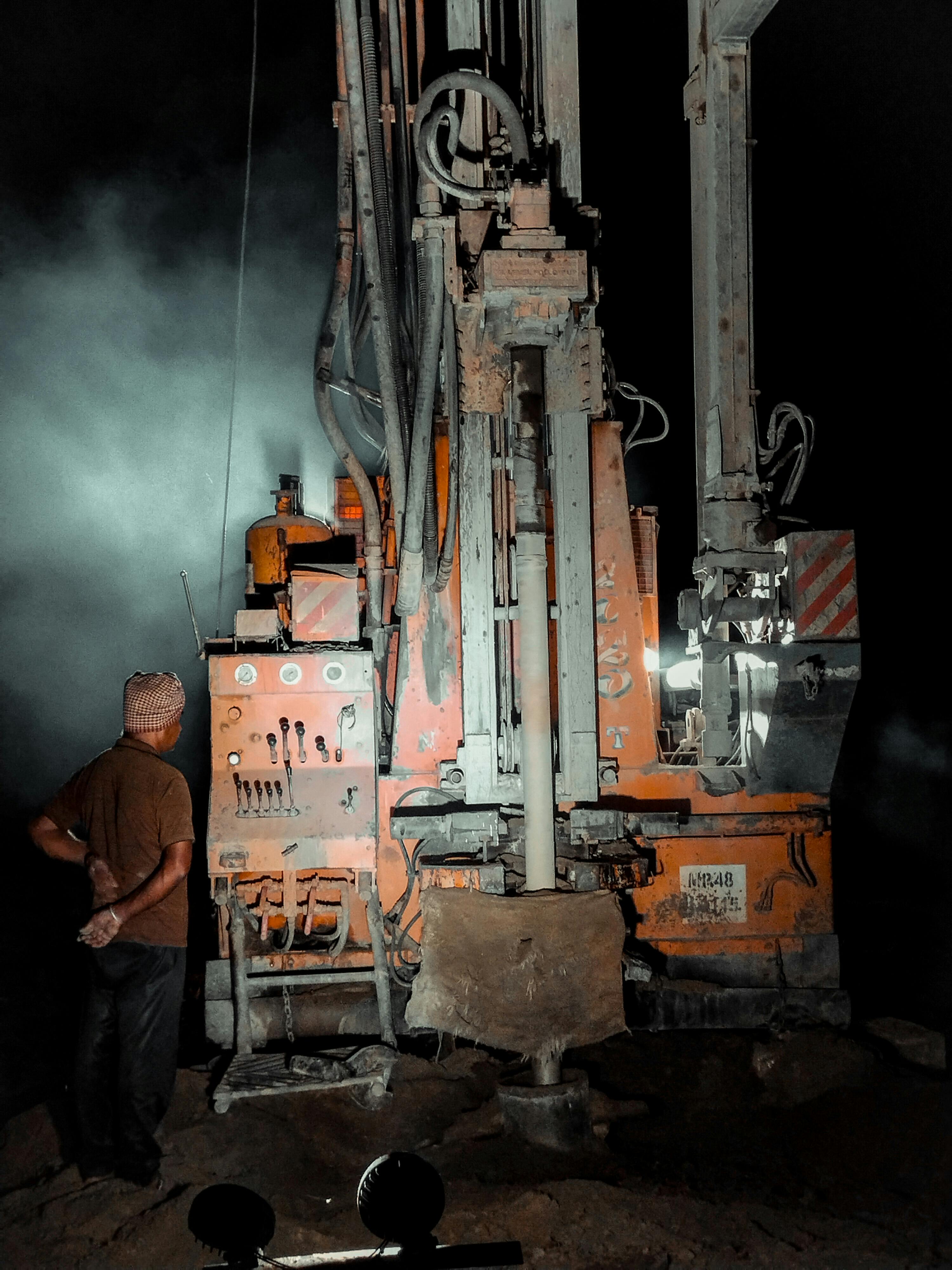
Groundwater well drilling in the field
Field Work

Boots On The Ground, Instruments In Hand

Our field teams run pump tests, install monitoring wells, and log subsurface conditions on-site, so every model we build is anchored to real measurements.

See Our Solutions
Our Solutions

Groundwater science applied across the project lifecycle.

01

Aquifer Studies

Recharge rate analysis, aquifer mapping, and long-term yield assessment.

View Solution →
02

Well Siting & Design

Field-verified well placement and design recommendations for reliable long-term yield.

View Solution →
03

Contamination Assessment

Groundwater sampling and contaminant transport modeling for site remediation planning.

View Solution →
04

Flood & Seepage Risk

Subsurface water intrusion diagnostics for construction and infrastructure planning.

View Solution →
05

Monitoring Networks

Long-term groundwater monitoring well installation and data reporting programs.

View Solution →
06

Geological Mapping

Subsurface geological investigation supporting construction and land use planning.

View Solution →

From The Field

Natural rock formation with groundwater

Reading An Aquifer Recharge Curve

What a recharge rate chart actually tells you about long-term well yield.

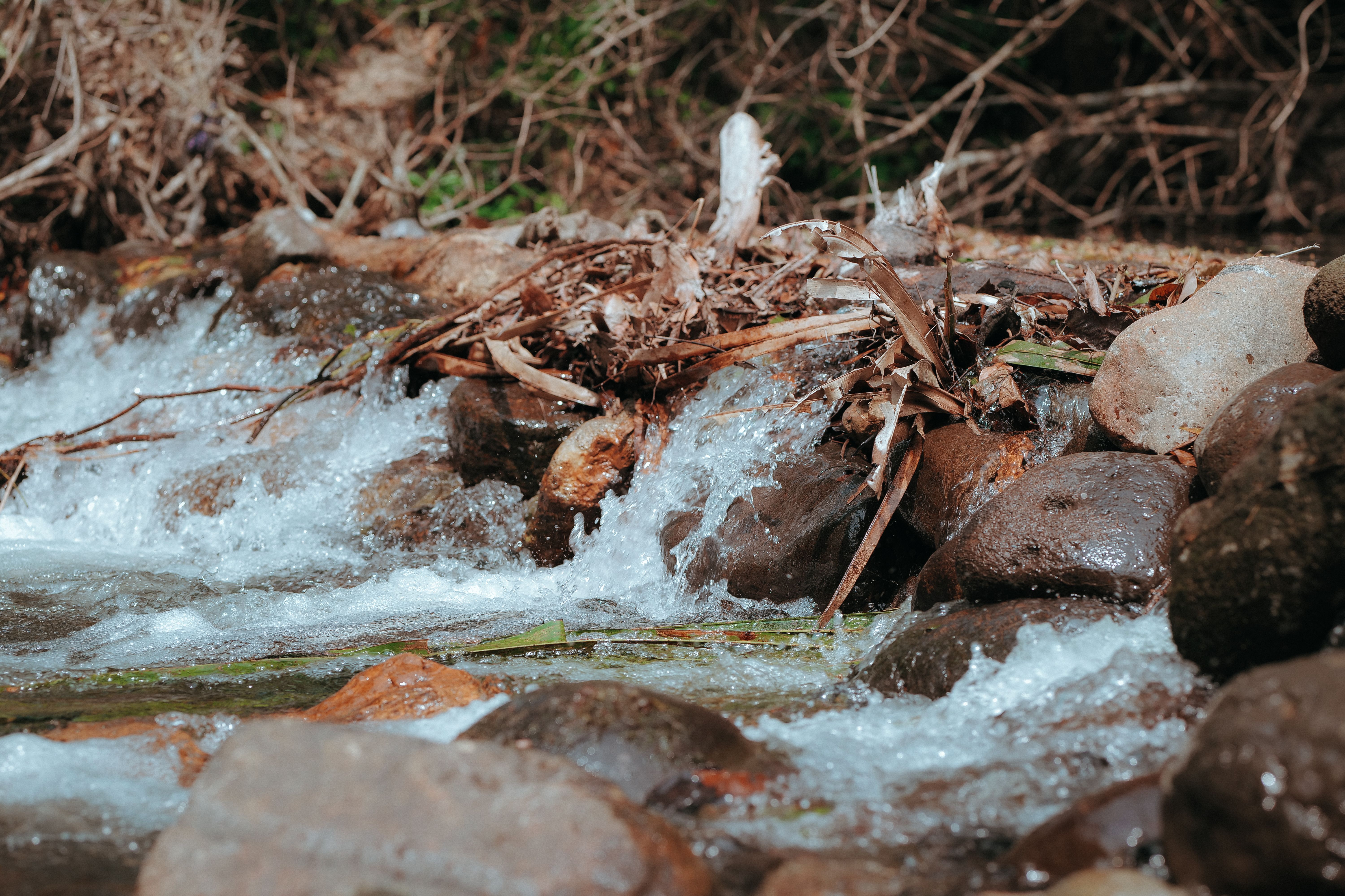
Water flowing over rocks

Why Seepage Risk Gets Missed

Common blind spots in subsurface water intrusion assessments for new construction.

Geothermal landscape

Mapping A New Aquifer System

Notes from a recent regional aquifer mapping project.

Need A Site Investigated?

Talk to our hydrogeology team about scope, timeline, and field requirements.

Contact Us